FP2-R2DATO D39.3: Demo specifications FP2-R2DATO advances rail safety and efficiency by supporting the development of...


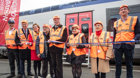
On 7 February 2025, on the site of the Charentes-Périgord industrial Technicentre, in the presence of Alain Rousset – Director of the Region, and Xavier Ouin – Director of Rolling Stock, the inauguration of the first renovated TER trains also provided an opportunity to unveil a geolocation experiment initiated by Tech4Rail, in support of Europe’s Rail FP2-R2DATO project.
After an initial test campaign carried out on a Nouvelle-Aquitaine TER train in 2023, Tech4Rail is once again teaming up with the region for a new series of tests, this time under the aegis of Europe.
Last December, a BGC train belonging to the Nouvelle-Aquitaine Region was fitted with several geolocation systems supplied by Alstom, Airbus and Exail, coupled with GNSS/4G satellite positioning antennae installed on its roof. This train will run until the end of 2025 in the Nouvelle-Aquitaine region to collect data,’ explains Valentin Barreau, head of Tech4Rail’s Location team.
The aim is to assess the achievable performance of on-board satellite positioning, to check that it can meet the performance and operating safety objectives of safety systems such as ERTMS. This work is being carried out jointly by players in the rail sector – Europe’s Rail JU – and those in the satellite space sector, such as the European Space Agency (ESA).
A European approach
These trials are funded by the European Union and will feed into Europe’s Rail’s FP2-R2DATO project. The FP2-R2DATO project is dedicated to the digitalisation and automation of rail systems, and is developing essential technological building blocks (telecoms, mobile blocking, perception, etc.). Among these building blocks, train geolocation using satellite technologies (GNSS) is at the heart of tomorrow’s automation systems.
Whether used in this European project or in other applications, train geolocation offers three types of benefits:
– Improving the robustness of the transport plan and passenger information,
– increase capacity and frequency on the lines, at a constant infra-stationary level,
– reduce energy consumption.
Other ‘collateral’ benefits, such as infrastructure monitoring (STC), are being studied to take advantage of these precise train positions.